Thirty six Lawrence, Massachusetts residents received official recognition with a bridge, park, pool, street corner, buildings for their deaths in WW1. This project, led by City Councilor Marc Laplante,* tells their stories.
View PROJECT VIDEOS on YouTube HERE.
----------------------------- 
NEW! Lawrence WWI Project Map!
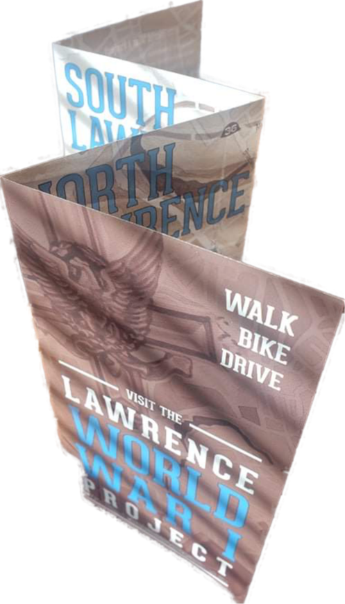
City Councilor Marc Laplante, along with the Lawrence History Center and Lawrence illustrator Kate Delaney, created a map of the sites that honor the 36 Lawrence WWI who received official recognition. The map is designed for people to walk, bike, or drive to the sites.
CLICK HERE to see and download the map! Maps will be available for FREE at Lawrence City Hall, the Lawrence Heritage State Park, the Lawrence History Center, Lawrence Public Library, the Lawrence Senior Center, and other locations to be determined.
The project was supported in part by a grant from the Lawrence Cultural Council, a local agency which is supported by the Mass Cultural Council, a state agency. The map was printed by LaPlume & Sons Printing Co. in South Lawrence.
-----------------------------
* Marc Laplante is the recipient of the 2019 Eartha Dengler History Award.